Первый слайд презентации: Geographical Position of G reat Britain
By Belockiy Dmitro
Слайд 2: England
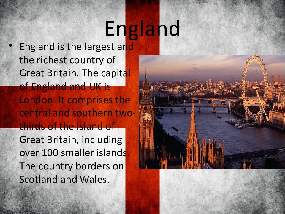
England is the largest and the richest country of Great Britain. The capital of England and UK is London. It comprises the central and southern two-thirds of the island of Great Britain, including over 100 smaller islands. The country borders on Scotland and Wales.
Слайд 3: Scotland
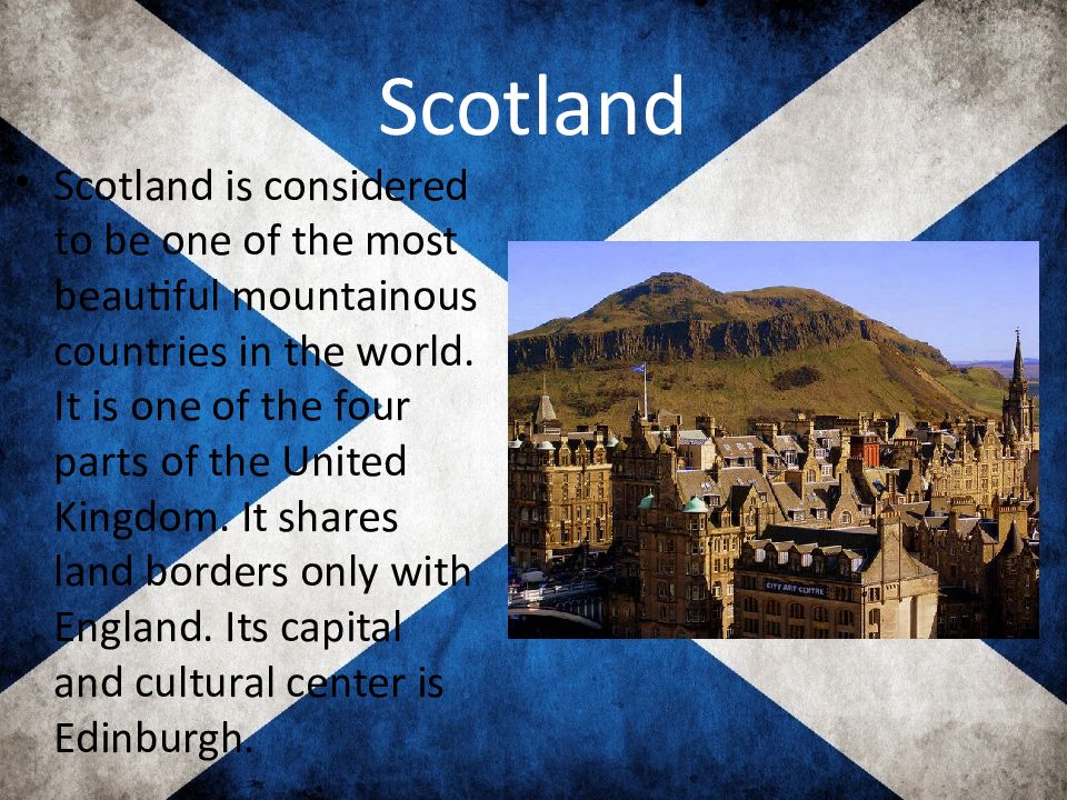
Scotland is considered to be one of the most beautiful mountainous countries in the world. It is one of the four parts of the United Kingdom. It shares land borders only with England. Its capital and cultural center is Edinburgh.
Слайд 4: Wales
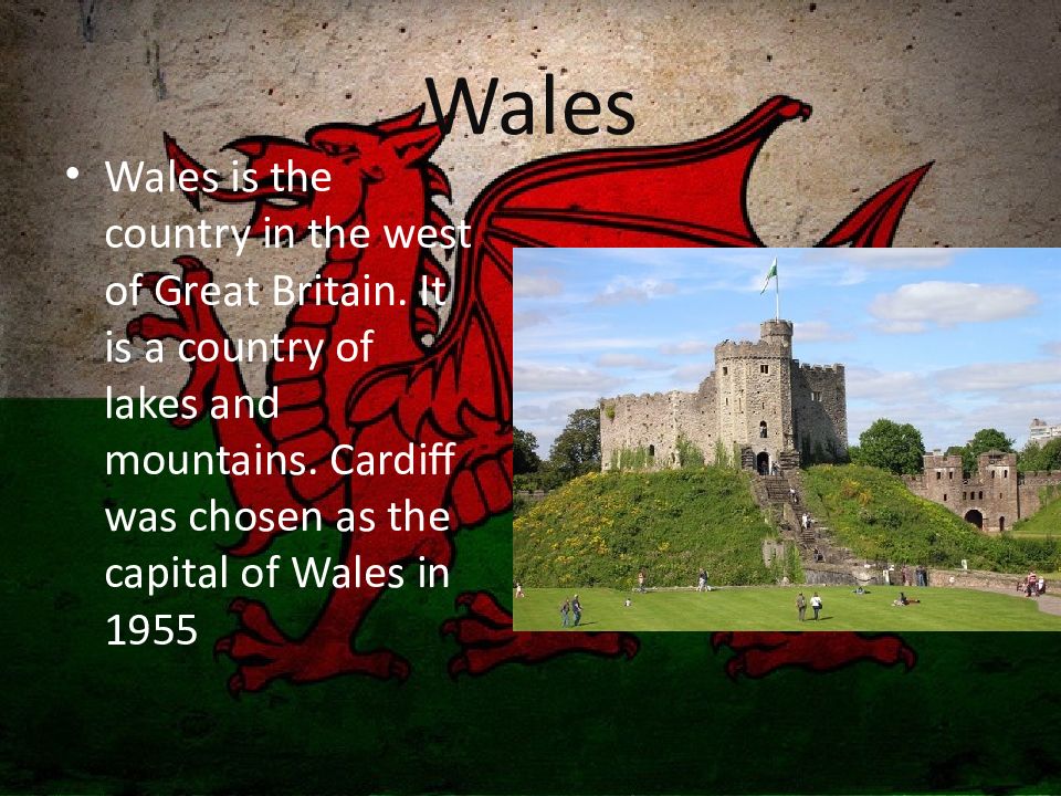
Wales is the country in the west of Great Britain. It is a country of lakes and mountains. Cardiff was chosen as the capital of Wales in 1955
Слайд 5: Northern Ireland
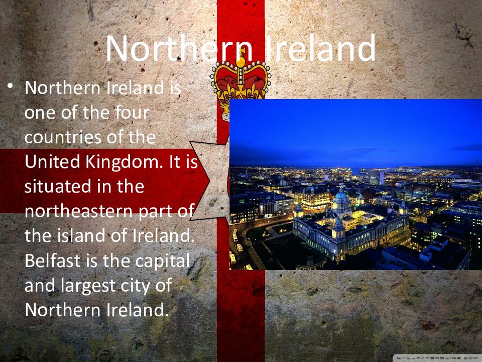
Northern Ireland is one of the four countries of the United Kingdom. It is situated in the northeastern part of the island of Ireland. Belfast is the capital and largest city of Northern Ireland.
Слайд 6: Geographical location
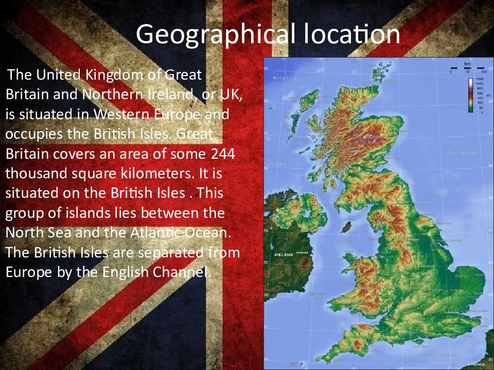
The United Kingdom of Great Britain and Northern Ireland, or UK, is situated in Western Europe and occupies the British Isles. Great Britain covers an area of some 244 thousand square kilometers. It is situated on the British Isles. This group of islands lies between the North Sea and the Atlantic Ocean. The British Isles are separated from Europe by the English Channel.
Слайд 8: Rivers
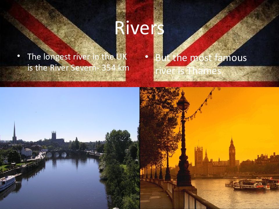
The longest rive r in t he UK is the River Severn - 354 km But the most famous river is Thames
Слайд 9: Forests and parks
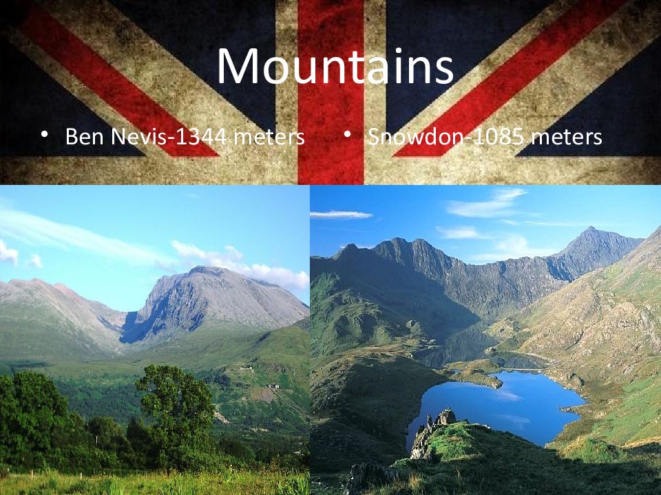
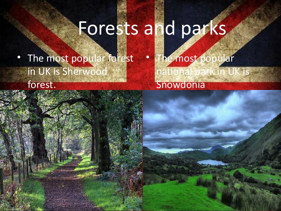
The most popular forest in UK is Sherwood forest. The most popular national park in UK is Snowdonia
