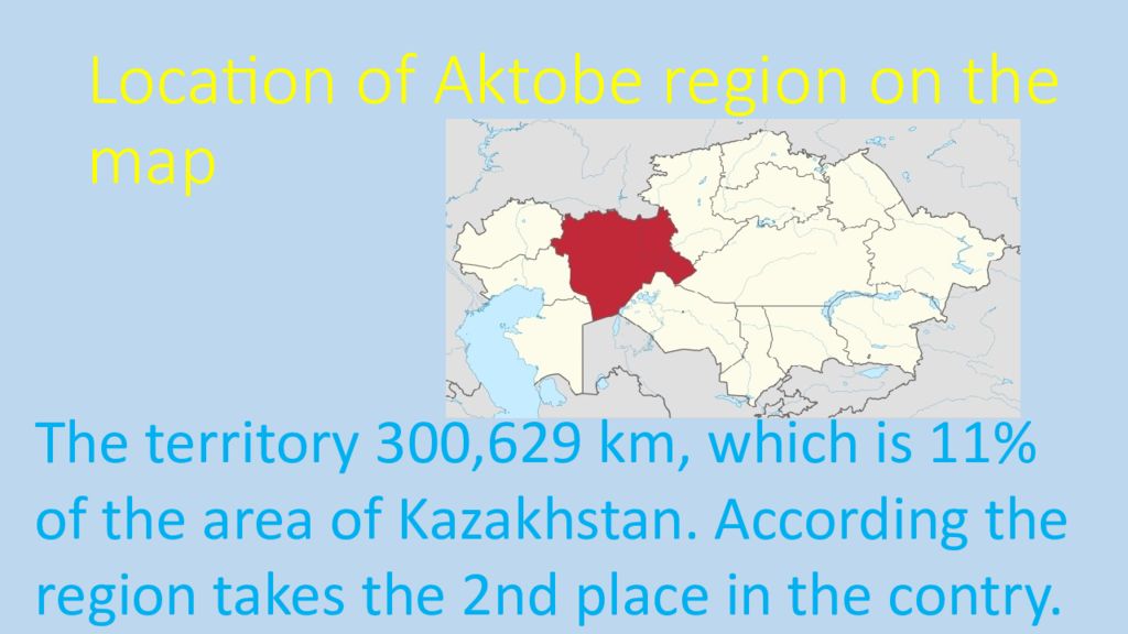
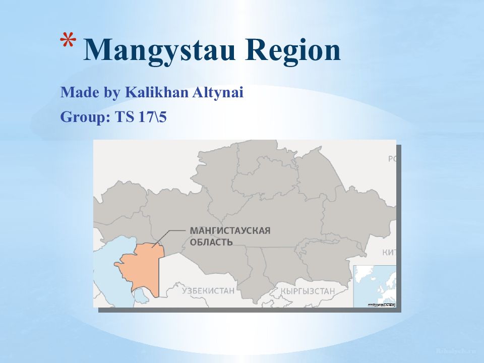
Слайд 3: Location of Aktobe region on the map
The territory 300,629 km, which is 11% of the area of Kazakhstan. According the region takes the 2nd place in the contry.
Слайд 4: Administrative devision
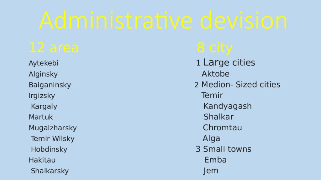
12 area 8 city Aytekebi 1 Lar ge cities Alginsky Aktobe Baiganinsky 2 Medion- Sized cities Irgizsky Temir Kargaly Kandyagash Martuk Shalkar Mugalzharsky Chromtau Temir Wilsky Alga Hobdinsky 3 Small towns Hakitau Emba Shalkarsky Jem
Слайд 5: Rortrait of the regiont
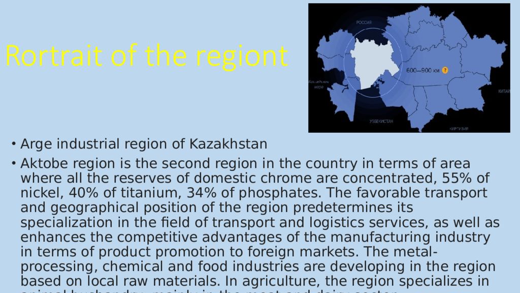
Ar ge industrial region of Kazakhstan Aktobe region is the second region in the country in terms of area where all the reserves of domestic chrome are concentrated, 55% of nickel, 40% of titanium, 34% of phosphates. The favorable transport and geographical position of the region predetermines its specialization in the field of transport and logistics services, as well as enhances the competitive advantages of the manufacturing industry in terms of product promotion to foreign markets. The metal-processing, chemical and food industries are developing in the region based on local raw materials. In agriculture, the region specializes in animal husbandry, mainly in the meat and dairy sector. Rortrait of the regiont
Слайд 6: Economy
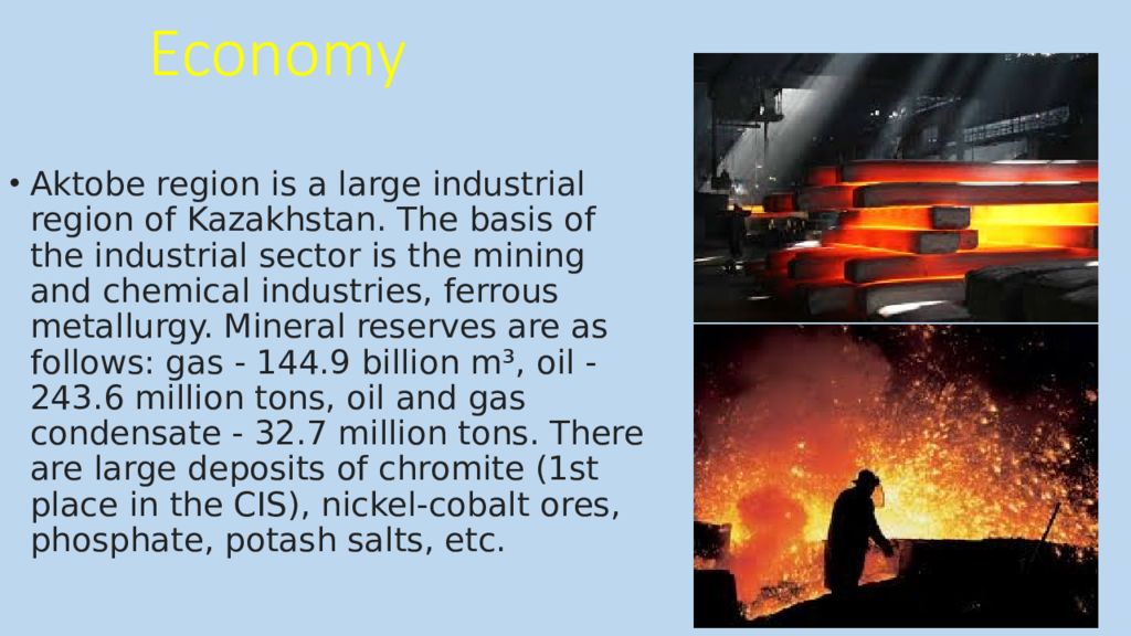
Aktobe region is a large industrial region of Kazakhstan. The basis of the industrial sector is the mining and chemical industries, ferrous metallurgy. Mineral reserves are as follows: gas - 144.9 billion m³, oil - 243.6 million tons, oil and gas condensate - 32.7 million tons. There are large deposits of chromite (1st place in the CIS), nickel-cobalt ores, phosphate, potash salts, etc.
Слайд 7: Education and science
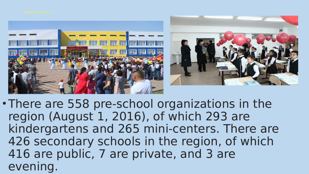
There are 558 pre-school organizations in the region (August 1, 2016), of which 293 are kindergartens and 265 mini-centers. There are 426 secondary schools in the region, of which 416 are public, 7 are private, and 3 are evening.
